
ODGEODNET (Global Earth Observation Decentralized Network) is a decentralized RTK (Real-Time Kinematics) data network that measures the effects of solar winds and other space-sourced influences on GNSS (GPS and similar) signals. Using this data, GEODNET improves GNSS signal accuracy to centimeter-level precision and timing accuracy down to nanoseconds.
Use Cases:
- Autonomous vehicles and smart transportation systems
- Machinery control in agriculture and construction
- Earthquake and geohazard monitoring
- Land surveying
- Blockchain mapping, metaverse digital twins, location-verified smart contracts, Proof-of-Location & Proof-of-Time
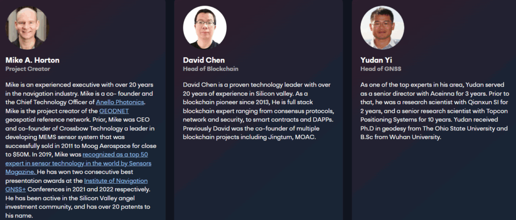
Founders and Team
- Mike Horton (ANELLO Photonics)
- David Chen (GEODNET)
- Yudan Yi (EasyRTK)
- Xiaohua Wen (Tersus GNSS)
- James Doebbler (VectorNav)
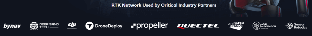
Partners and Collaborators
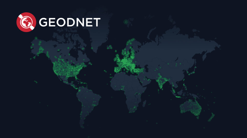
GEODNET partners with technology companies and research institutions to provide global GNSS accuracy data and support real-world applications.
Key partners include:
- Satellite & GNSS Tech: ByNav, Quectel, Deep Sand Tech
- Drones & Autonomous Systems: DJI, DroneDeploy, Propeller
- Precision Agriculture & Robotics: Agri Automation, Sensor Robotics
- Web3 & Metaverse Applications: Animoca Brands
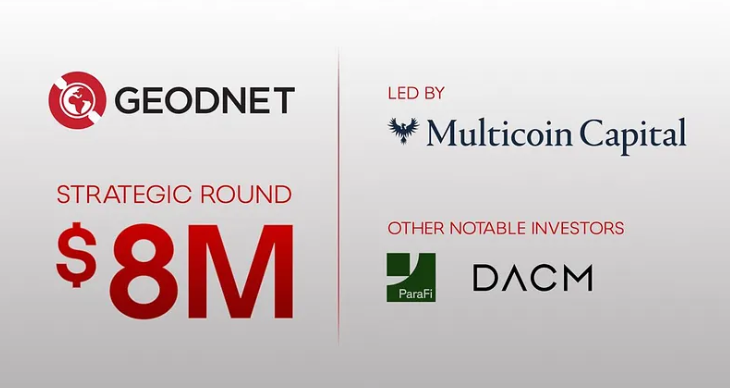
Strategic Funding & Major Investors:
GEODNET raised $8M in a strategic funding round led by Multicoin Capital, with participation from ParaFi and DACM, aiming to accelerate the development and deployment of robotic and drone platforms.
Project Concept
GEODNET aims to make satellite-based positioning and timing services more accurate, reliable, and decentralized. Unlike expensive and centralized traditional GNSS correction services, GEODNET leverages blockchain to provide accessible services through network participants.
How It Works
- Participants set up RTK GNSS mining stations to collect high-precision positioning and timing data.
- The data is uploaded to the GEODNET network and processed on the blockchain into correction data.
- Users purchase this data with GEOD tokens for high-precision navigation and timing services.
- Station operators are rewarded with GEOD tokens for their contributions.
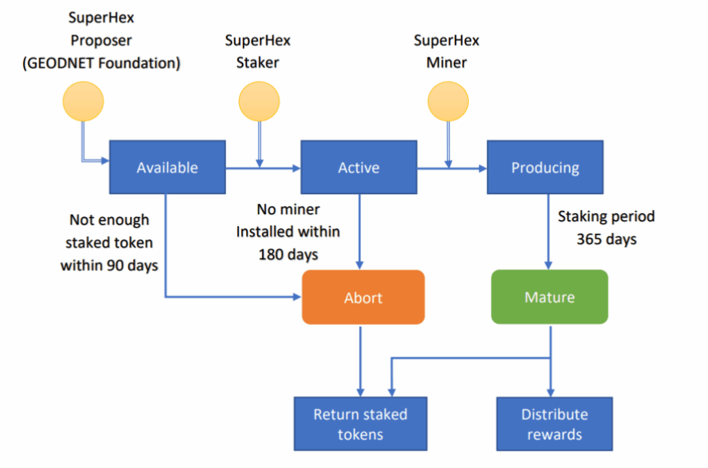
SuperHex Staking Model:
The GEODNET Foundation identifies high-value areas to create SuperHex zones.
Process:
- Staking: Community members stake GEOD tokens in a SuperHex.
- Activation: Fully staked SuperHex zones become active, allowing GNSS mining stations to operate.
- Rewards: The first station in an active SuperHex receives rewards up to 4× higher.
- GEODNET has successfully launched Phase I and II of the SuperHex program, deploying new stations worldwide.
Roadmap
Short & Medium Term: Expand node network infrastructure, improve data validation, and extend cross-chain functionality.
By 2027: Integrate advanced AI for geographic data analysis and initiate new enterprise partnerships.
By 2030: Further decentralize the network, expand use cases, and establish GEOD as a leading token for geospatial data services.
Governance
Managed by GeoDAO (Decentralized Autonomous Organization).
Token holders influence key decisions via governance tokens on the Polygon blockchain (ERC20 smart contract).
Token Utility
- Pay for GEODNET data and RTK services
- Reward mining participants
- Earn additional SuperHex staking rewards
- Participate in DAO governance
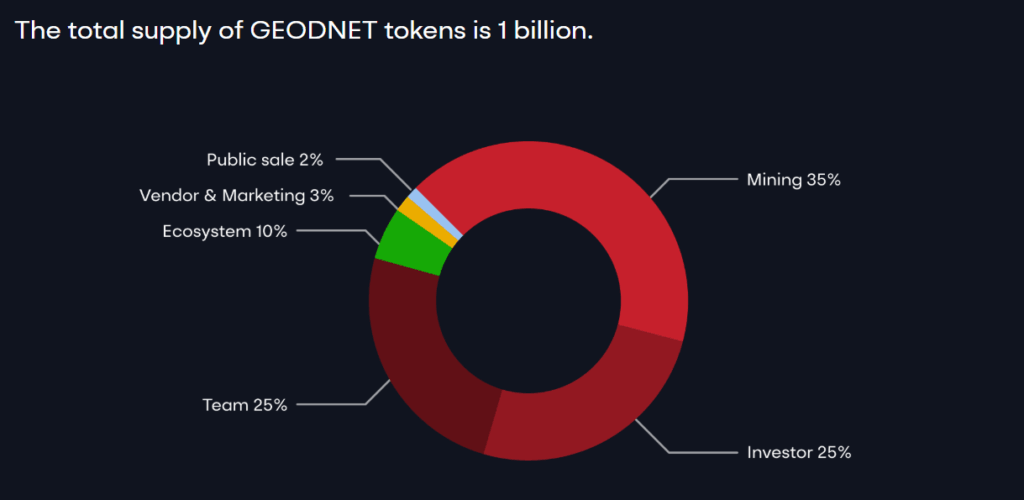
GEOD Token Details
- Total Supply: 989.28M GEOD
- Max Supply: 1,000M GEOD
- Circulating Supply: 317.16M GEOD
- Symbol: GEOD

Token Distribution
- Mining: 35%
- Investors: 25%
- Team: 25%
- Ecosystem: 10%
- Vendor & Marketing: 3%
- Public Sale: 2%
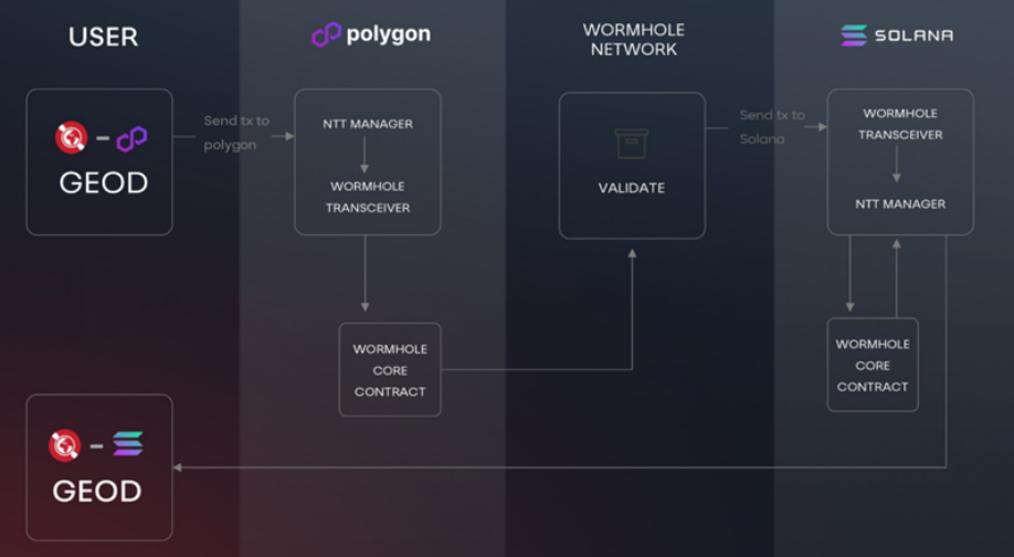
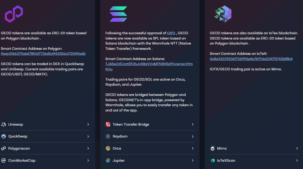
Multi-Chain Presence
- Polygon (ERC-20): Available on Uniswap and QuickSwap (GEOD/USDT & GEOD/MATIC)
- Solana (SPL): Connected via Wormhole bridge, available on Orca, Raydium, Jupiter (GEOD/SOL)
- IoTeX (ERC-20): Available on Mimo exchange (IOTX/GEOD)
Ecosystem
- Miners: GNSS data providers
- Users: Navigation, agriculture, construction, research, and blockchain apps
- Investors & Partners: Tech firms, funds, research institutions
- GEODNET Foundation: Oversees network development
Key Features
- First blockchain-based network providing decentralized GNSS correction data
- SuperHex staking model incentivizes participants
- 4× reward system supports early miners
-
Extensive real-world and Web3 applications
Official Links
You can also freely share your thoughts and comments about the topic in the comment section. Additionally, don’t forget to follow us on our Telegram, YouTube, and Twitter channels for the latest news and updates.